



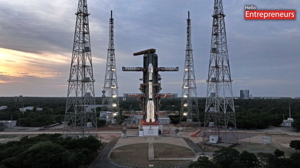
New Delhi: Indian Space Research Organisation (ISRO) has again taken a big step in India’s space programme by launching the EOS-05 Satellite, which watches the Earth. The launch happened on Friday, September 4 when the GSLV-F17 rocket lifted off from the Satish Dhawan Space Centre, in Sriharikota.
The 51.7-metre-tall GSLV-F17 rocket lifted off at 2:55 a.m. From the launch pad. This GSLV-F17 carried the satellite EOS-05, which weighs, about 2,367 kilograms and flew successfully for 19 minutes. The flight has been reached the sub-geosynchronous transfer orbit. After this the satellite EOS-05 will going to use its thrusters to reach its operational orbit.
India gets a new eye in Space
EOS-05 is a significant satellite as it is the first Indian imaging satellite to be placed in GEO. The satellite will be able to repeatedly observe a large fraction of the Earth from an altitude of about 36,000 km and will provide valuable imaging and observation information.
The satellite will have different applications including weather monitoring, disaster management and environment observation and other strategic applications. Can monitor a large area and respond fast to changes in real time during big events.
The mission is also significant as EOS-05 is about 2,367 kg, which is the heaviest payload ISRO has ever launched on the GSLV. ISRO Chairman V Narayanan said that the launching was precise and added that it is an improvement in the performance of the rocket from the previous years.
PM Modi praises ISRO
Prime Minister Narendra Modi applauded ISRO for the successful mission and called it an “outstanding achievement” for India and said it was a proud moment for them. He stated that the launch is an indicator of the country’s space sector’s excellence, innovation and its capabilities which are still growing. Modi also talked about the growing importance of Indian industry and pointed out the cooperation between ISRO and the industry in the development of the space programme.
The EOS-05 mission is also significant for India in the field of high altitude Earth observation and enhances the country’s capability to acquire useful data from space.