



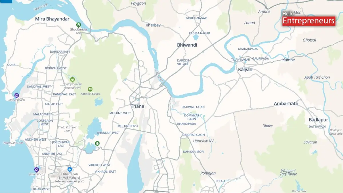
New Delhi: MapmyIndia, the homegrown competitor to Google Maps, has upgraded is flagship Mappls navigation app to include public transport and multimodal route data across urban areas, strengthening its offerings.
The enhanced Mappls app now provides a comprehensive and detailed multimodal mobility platform bringing together private and public transport data on a fully indigenous map and navigation app. Despite competition from Google’s fairly reliable Google Maps platform, the Mappls app stands out for its highly detailed maps, locating various landmarks that Google Maps may have missed.
Currently, the Mappls navigation app includes public transport data for select cities including Mumbai, Delhi, Hyderabad, Ahmedabad, Bengaluru, Chennai, Chandigarh, Pune, Kolkata, Nagpur, Indore, Patna, Lucknow, Kanpur, Agra, Jaipur, Kochi & Bhopal. The feature is currently live on its web and iOS platforms, and an Android rollout is expected shortly.
“The launch of multimodal public transport routes on the Mappls App is a direct outcome of listening to our users. We want the Mappls App to be more inclusive and accessible for every citizen. We are pleased to begin rolling out this feature across select cities and will continue expanding coverage to make public transport more convenient for millions of Indians. As a fully indigenous platform built in India for India, Mappls remains committed to supporting sustainable urban mobility by seamlessly integrating public transport into everyday navigation.” Mr. Rakesh Verma, Co-Founder, Chairman & Managing Director, MapmyIndia Mappls, said in a press release to the bourses.